

Why Nepal Floods Should Worry India
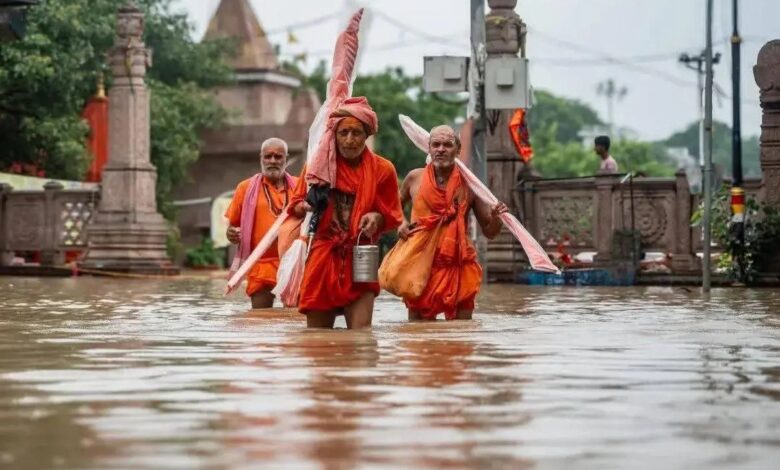
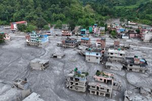
Nepal’s devastating floods have highlighted a risk that extends well beyond its borders. India and Nepal share several rivers originating in the Himalayas, but the impact of floods downstream is more complex than simply water flowing south.
Some floods can surge out of the mountains carrying huge amounts of mud, rock and debris, while others lose much of their force on reaching the plains. Whether they trigger disasters in India depends not only on rainfall in Nepal, but also on rainfall, river levels, embankments, drainage and development on the Indian side.
Nepal has more than 6,000 rivers and streams, most of which drain south into India and the Ganges. The three major systems are the Kosi, Gandaki and Karnali, while the Mahakali runs along the western border.
 Smaller rivers such as the Bagmati, Kamala, Rapti and Babai can also cause sudden and unpredictable flooding.
According to hydrologists at ICIMOD, seven to nine major rivers flow from Nepal into the Indian plains and contribute to flooding. India’s Central Water Commission identifies the Kosi, Gandak, Bagmati and Ghaghara among the key transboundary rivers.
Bihar is the most vulnerable, with around three-quarters of the state classified as flood-prone. Nearly all its major flood-causing rivers originate in Nepal, with the Kosi known as the “Sorrow of Bihar” among the most notorious.
The risk also extends to eastern Uttar Pradesh, where the Ghaghara, Rapti and Gandak regularly affect districts including Gorakhpur, Bahraich, Lakhimpur Kheri and Shravasti. Uttarakhand faces risks from the Mahakali-Sharda system, while parts of North Bengal are vulnerable to the Mechi and Mahananda.
Experts say Bihar bears the greatest burden, but Uttar Pradesh remains a significant and often under-reported part of the transboundary flood risk.