
Bhubaneswar Unveils Digital Climate Risk Map
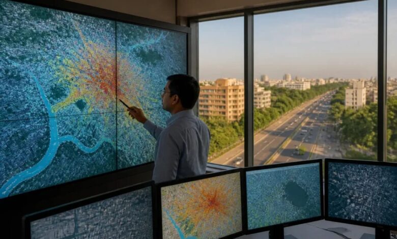
Bhubaneswar: In a major step towards climate-resilient urban planning, Bhubaneswar has introduced a digital platform that maps heatwaves, flooding and air pollution across the city. The initiative, named Bhubaneswar Climate Digital Twin, was launched by Union Minister of State for Housing and Urban Affairs Tokhan Sahu during the 19th Urban Mobility India Conference and Expo 2026.
Developed by the Bhubaneswar Municipal Corporation (BMC) with technical support from GIZ India under the Ministry of Housing and Urban Affairs’ SUM-ACA project, the platform was built by Innpact Solutions. It aims to help residents and government agencies identify environmental threats and take targeted action.

The open-access portal combines satellite images, meteorological information and computer-based modelling to assess heat stress, urban flooding and air pollution across all 67 municipal wards. It also provides road-safety assessments and covers approximately 2.77 lakh buildings, 2,000 kilometres of roads and 2,100 public facilities.
Unlike conventional weather reports, the platform uses Physiological Equivalent Temperature (PET) to estimate how hot conditions actually feel to people. It also includes an AI-powered assistant that answers questions in simple language. Users can access the service without registering by visiting climate.bmc.gov.in on a smartphone or computer.
The platform has identified several areas facing significant environmental challenges. During the recent summer, the highest recorded felt-heat levels included the Airport Region at 46°C, Dhirikuti Sahi and IDCO Colony at 45.8°C, Paikarapur at 45.6°C and Salia Sahi at 45.4°C. Sikharchandi Vihar, Rail Kunj Complex, Jagannath Nagar, Saheed Nagar and Adimata Colony were also identified as areas experiencing substantial heat retention at night.
Flood-risk analysis based on historical satellite data highlighted Lingaraj Vihar, Ananta Vihar, Badagada Brit Colony, Paika Nagar and Kolathia as vulnerable residential locations. More than 1,500 buildings in these areas reportedly experienced flooding nearly 10 times over the past decade.

The winter air-quality assessment also identified Sriram Nagar, Samantarapur, Kapileswar, Basisthanagar and Brahmeswar Patna as pollution-prone neighbourhoods, with air quality levels approaching an AQI of 230. Around 345 educational institutions were found to be exposed to poor air quality.
BMC Mayor Sulochana Das said the platform would allow residents to report local problems such as waterlogging, open waste burning and construction dust by uploading photographs with location tags. Citizens can also search for their homes, schools, markets or streets to access current and historical information on heat, pollution and flooding.
BMC Commissioner Chanchal Rana said the digital system would help civic authorities allocate resources more effectively by identifying locations where environmental risks are most severe.
The initiative is expected to strengthen data-driven decision-making and improve Bhubaneswar’s preparedness for climate-related challenges.