

Low-Pressure Area Likely Over Bay of Bengal by October 13; Yellow Alert for 13 Odisha Districts
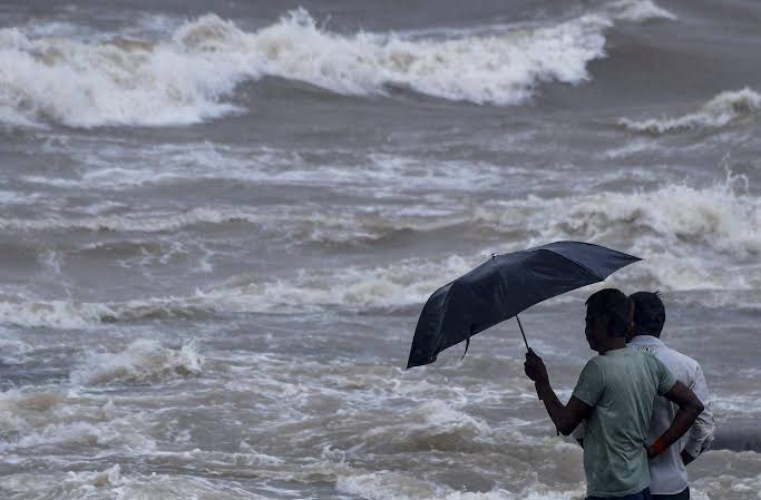
The India Meteorological Department (IMD) has forecast the formation of a low-pressure area over the southeast Bay of Bengal by October 13, raising the possibility of further rainfall in Odisha amid the ongoing southwest monsoon withdrawal.
According to IMD, an upper-air cyclonic circulation over the Strait of Malacca is expected to move into the Andaman Sea by October 11. The system is likely to trigger the formation of a low-pressure area, said IMD Senior Scientist Dr Umashankar Das.
Meanwhile, a cyclonic circulation over central Odisha and a trough extending from northwest Rajasthan to central Odisha are also influencing local weather conditions.
Yellow Warning for 13 Districts
The Regional Meteorological Centre in Bhubaneswar has issued a Yellow Warning for isolated places in 13 districts until the morning of October 12. Light to moderate rain, thunderstorms, lightning and gusty winds of 30–40 kmph are likely in Baleswar, Bhadrak, Jajpur, Kendrapada, Jagatsinghpur, Cuttack, Keonjhar, Mayurbhanj, Gajapati, Ganjam, Puri, Khordha and Nayagarh.
Puri recorded the highest rainfall at 8 cm in the past 24 hours.
Dry Weather Likely from October 12
The IMD has forecast mostly dry weather across Odisha from October 12, with no significant change in maximum or minimum temperatures over the next seven days.
Paralakhemundi recorded the highest maximum temperature at 36.2°C, while Phulbani recorded the lowest minimum temperature at 20.5°C. Maximum temperatures in coastal Odisha remained around 2°C below normal.