Low-Pressure Over Bay of Bengal Triggers Thunderstorm Alert for 8 Odisha Districts

Bhubaneswar: A low-pressure system formed over the South-West Bay of Bengal has intensified and is moving west-northwestwards, the India Meteorological Department (IMD) said on Monday, forecasting thunderstorms and rainfall in several parts of Odisha.
Under its influence, eight districts — Malkangiri, Koraput, Nabarangpur, Kalahandi, Mayurbhanj, Keonjhar, Balasore and Bhadrak — are likely to experience light to moderate rainfall accompanied by thunderstorms today.
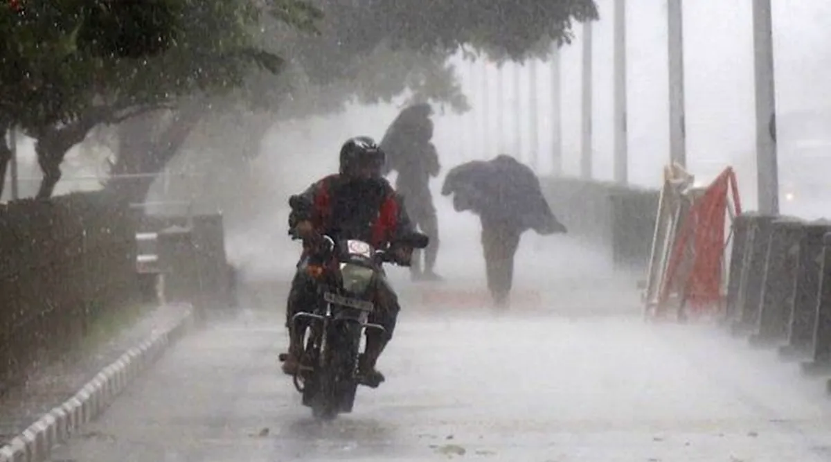
The IMD has advised residents in these districts to remain cautious, especially during lightning activity. Wind gusts reaching 30 to 40 kmph are also expected in northern and southern parts of the state.
Meanwhile, temperatures continue to rise across Odisha. Jharsuguda recorded the highest maximum temperature at 36.6°C, followed by 36.5°C in Parlakhemundi. Bhubaneswar registered 35.7°C, while Titlagarh, Bhadrak, Talcher, Baripada and Bhanjanagar recorded 35°C each. Most other places in the state reported temperatures between 32°C and 34°C.
Weather officials said the prevailing conditions reflect a combination of pre-monsoon heat and localized convective activity triggered by the low-pressure system.